When we mentioned we were going to Prudhoe Bay the reaction from some people was “Wow! Cool!” From others it was “Why do you want to go there?” In fact it turned out to be one of the best parts of the whole trip. Here’s a map of the route – the red stars mark places we stayed overnight on the return trip.
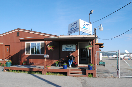
On the northward leg we flew to Prudhoe Bay from Fairbanks. Here’s Jan waiting for the flight to depart.
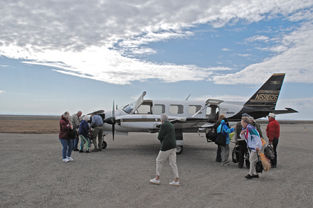
The plane was an AirArctic Piper Navajo. This picture was taken after we landed as my pre-takeoff shots weren’t so good.

This turned out to be a great flight and the pilot told us that it was the best weather he had experienced all year.
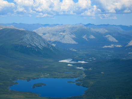
I had a little trouble shooting pictures through the aircraft windows but a couple of them turned out good enough to post. Here is a photo of the Brooks Range mountains as we flew over.  The next day we would be driving back through them.
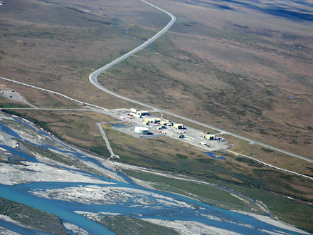
Here is one of the pumping stations on the Trans-Alaska Pipeline. 
You can see the pipeline on either end of the pumping station and the Dalton Highway curving up to the top of the photo. Because of new technology that decreases the oil viscosity, not all of the 11 pumping stations are still needed to keep oil flowing. We were told it takes about 7 days for oil to flow nearly 800 miles from the North Slope to the port of Valdez.
Next I’ll post what we saw in Deadhorse/Prudhoe Bay